Our group actually started the trip the evening before, driving from Sacramento to Echo Lake. We were fortunate to have access to an overnight way-station to help us acclimate to the higher elevation. By the next morning, all were eager to make the short drive to the Mt. Tallac Trailhead on highway 89 a few miles to the west of South Lake Tahoe. In the parking area, we learned a wilderness permit is required, even for day hikes, as the boundary of the Desolation Wilderness is only a short distance beyond the Trailhead. Wilderness permits for day hikes are available next to the bulletin board at the Trailhead. However, overnight permits must be arranged and paid for ahead of time.
The first part of the hike traverses a long and slowly ascending ridge line above and to the west of Fallen Leaf Lake. Along the way, the small but picturesque Floating Island Lake can be seen on the right (west) side of the trail with Mt. Tallac reflected in the background.
This first segment of the trail takes about 1-1/2 hours (nearly two miles) from the Trailhead (at 6,480 feet elevation) to Cathedral Lake (around 7,400 feet). Note: There is a very rustic trail that splits off to the right of the main trail about 0.2 mile before arriving at Cathedral Lake--not for the faint of heart. Cathedral Lake is a popular watering hole and is the last available water on the trail to the summit.
(Photo courtesy Brittany Krawczyk)
At Cathedral Lake, the main trail swings westward through a well-shaded stretch on the way up toward the tree line about a half-mile or so ahead. In no time, the increase in elevation goes from noticeable to "no-doubt-about-it." I heard the word "relentless" several times on the way up.
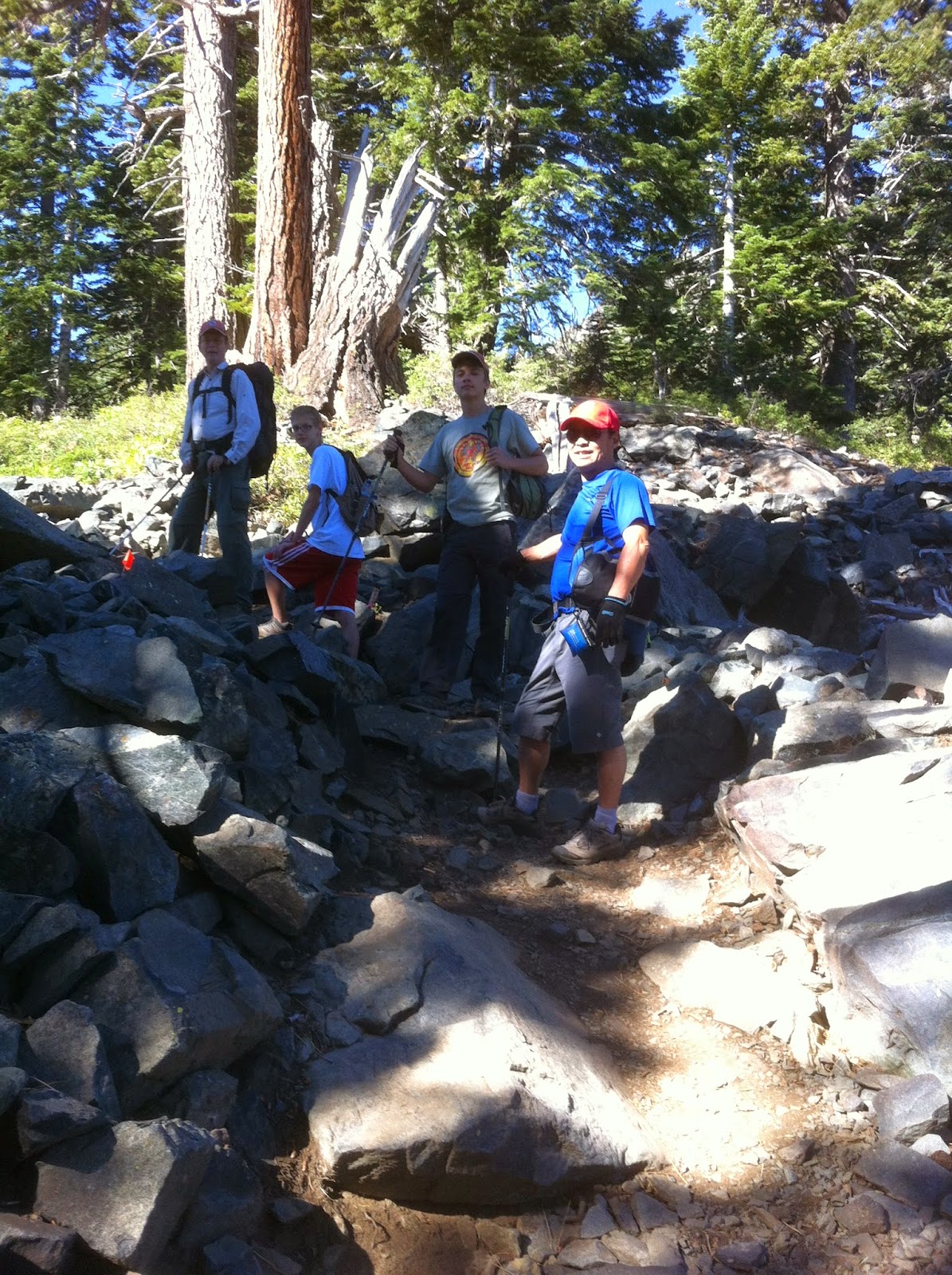
A hiking stick or hiking poles will get well used on the way up and even more so on the way back down. This is the section of the trail where resolve may be tested. The trail is well-maintained and easy to follow but you will know you are going up for the next mile. It is breathtaking in more ways than one. After leveling out for a short stretch, the trail becomes steeper still. At this point in the hike, you will hear the mantra repeated by anyone who is already on the way back down: "You're almost there!" You may doubt the veracity of their encouraging words. Yet you will likely join in the chorus on your way back down as you encounter other hikers on their way up.
Eventually, we arrived at the summit at 9,735 feet. The last two hundred meters or so are somewhat of a scramble as the trail disappears in the midst of boulders and rocks. Dig deep during this final ascent, for the reward of spectacular views is worth the extra effort.
(Photo courtesy Brittany Krawczyk)
Lake Tahoe stretches out before you to the northeast, along with bits of Emerald Bay and Cascade Lake slightly in the foreground.To the southwest (below), Gilmore Lake is clearly visible with Pyramid Peak on the horizon. In total, the hike up took about 3-1/2 hours and the hike down a bit less. When (not if) you go, plan to have lunch or a snack at the top to give you time to enjoy the views.
In another setting nearly 85 years ago, Eric Sevaried began an adventure above the Arctic Circle, chronicled in his book "Canoeing With The Cree". Although our adventure was a day hike and the number of visitors large by comparison, Sevaried's words rang true for me on that day, gathered with my fellow Scouts atop Mt. Tallac: "Such sights as this are reserved for those who will suffer to behold them." It was indeed a great day for Scouting!


